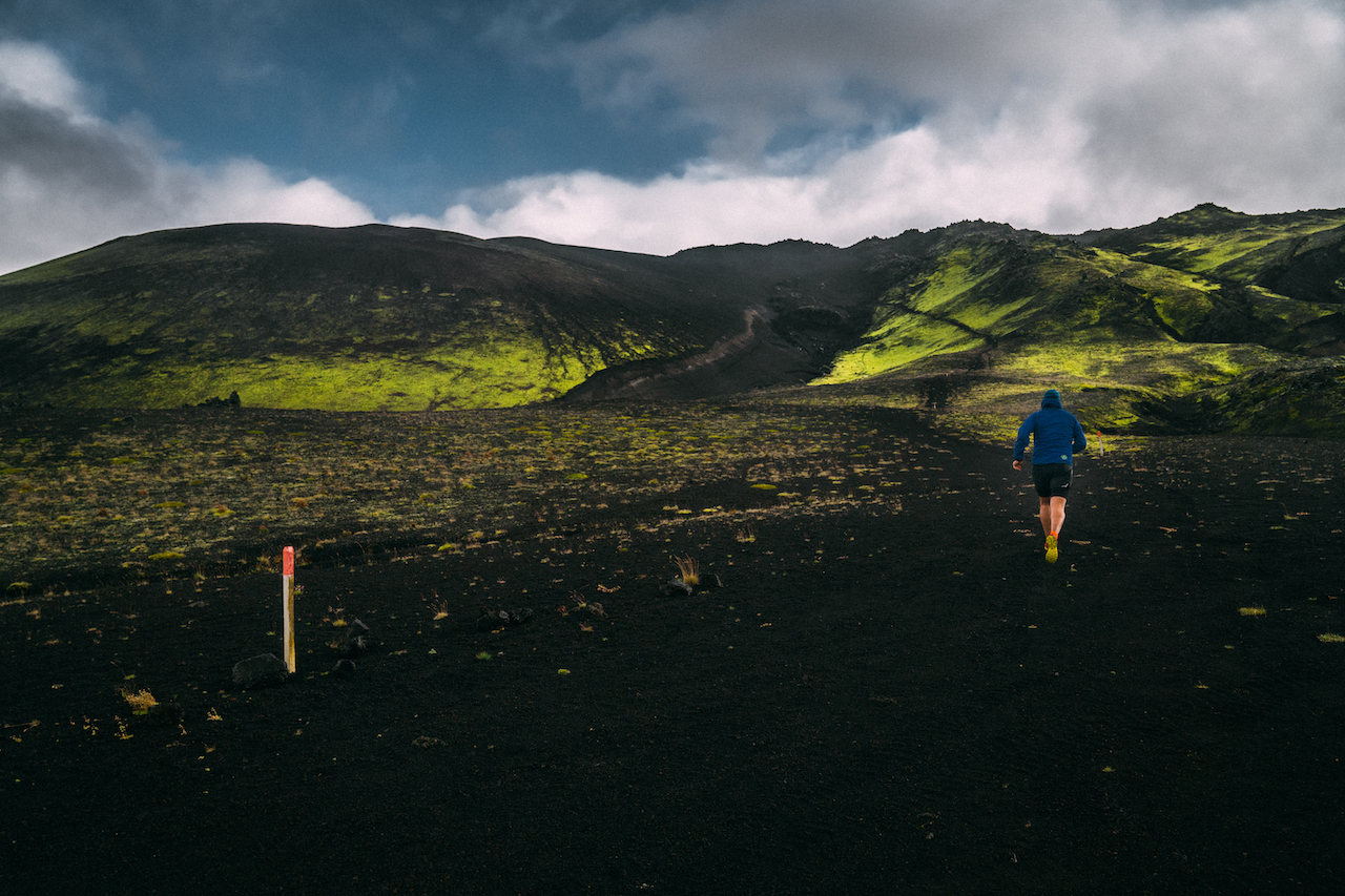
Official Volcano UltraMarathon Iceland Track
The complete tour of Volcano UltraMarathon Iceland is now available. A unique itinerary where you can visit volcanoes, rivers, waterfalls, petrified lava valleys, deserts, mountains and glaciers.
280 kilometers divided into 6 stages and 7 days to make this adventure a unique experience. The tour will start from the southern part of Iceland where we will find the first Urriðafoss waterfall, the largest in the river. A route of ascents and descents not very steep awaits us, to go around the Kolavatn wetland heading for route 26, the first kilometers of the Laugavegur route, the Landmannalaugar hot springs area to the glacial valley of Þórsmörk.
We continue zigzagging through volcanic trails and roads, something that will accompany us most of our route. We will start fording rivers, dirt tracks, a not very steep but constant climb until we reach our daily goal, which is only 10 km from the Hekla volcano. We leave the green fields to enter the valley of the volcanoes. The Hekla awaits us on our way to the camp at the foot of the Krakatindur volcano.
We enter the Frioland ao Fjallabaki Lava Fields, a Nature Reserve in the highlands and inhospitable inland of Iceland. The translation is composed of land (country), mann (people) and afréttur (highland pastures). Mountainous area, volcanoes, lava fields, strangely colored mountains, long valleys and countless rivers and lakes will accompany us on a rise and fall of solitary routes entering the region called Landmannaafréttur, a route that will take us through small rivers, valleys and ridges. to our goal.
We follow the last kilometers inside Frioland to Fjallabaki to reach Hvanngil Hut in the middle of nowhere. I turn left through the pass between the Sléttafell and Einstigsfjall mountains, with an eye on our next destination, Mount Strútur, which rises to 968m in the rugged highlands north of the Mýrdalsjökull glacier. Mount Strútur is located right between the Torfajökull glacier, and our final stage camp “The Green Pyramid”, the Mælifell volcano, one of the most majestic mountains in the highlands, 6km and a very bearable slope to the end.
We leave the majestic Mælifell volcano behind, heading again to the Laugavegur trail on route 210. Crossing south through Laugavegur to Fimmvörðuháls that leads from Þórsmörk to the lowest level of this stage 220m through the neck that separates the glaciers of Eyjafjallajökull and Mýrdalsjökull. The highest unevenness awaits us a few kilometers to begin the great descent that will take us to the final camp.


